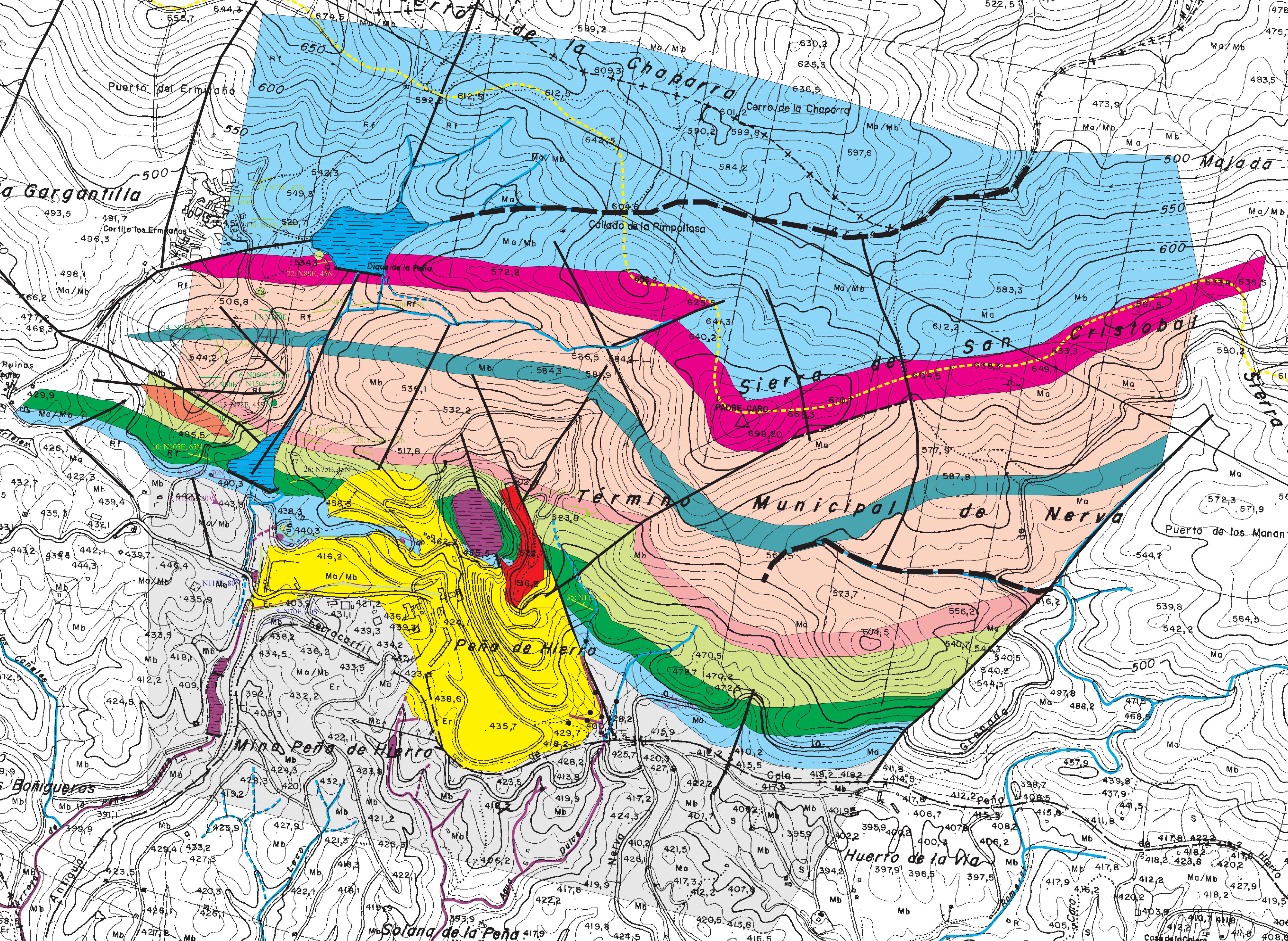
Rio Tinto topographic
and geologic map
2674.6 KB
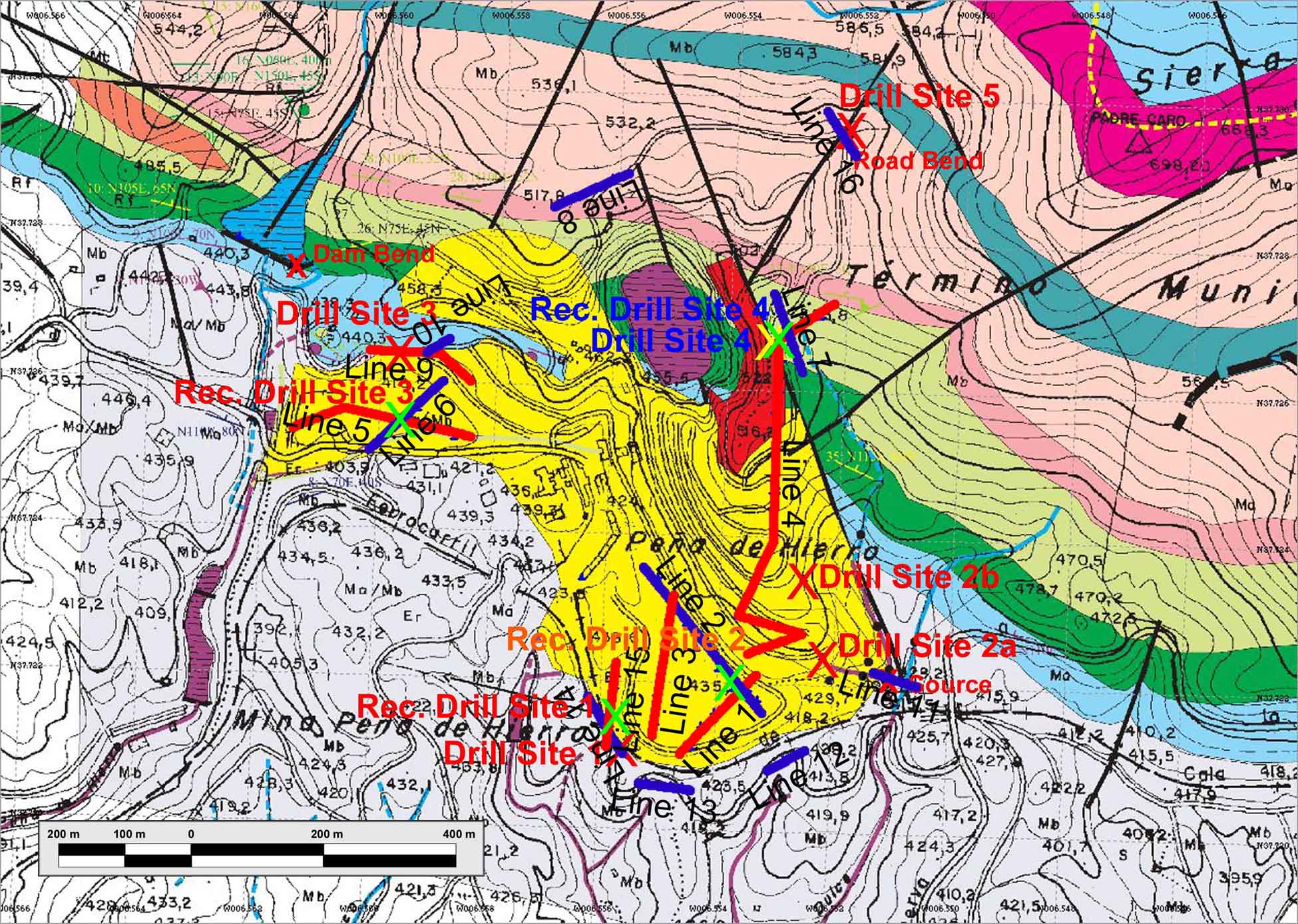
Rio Tinto field area map
w/drill sites and '03 survey lines
453.5 KB
.small.jpg)
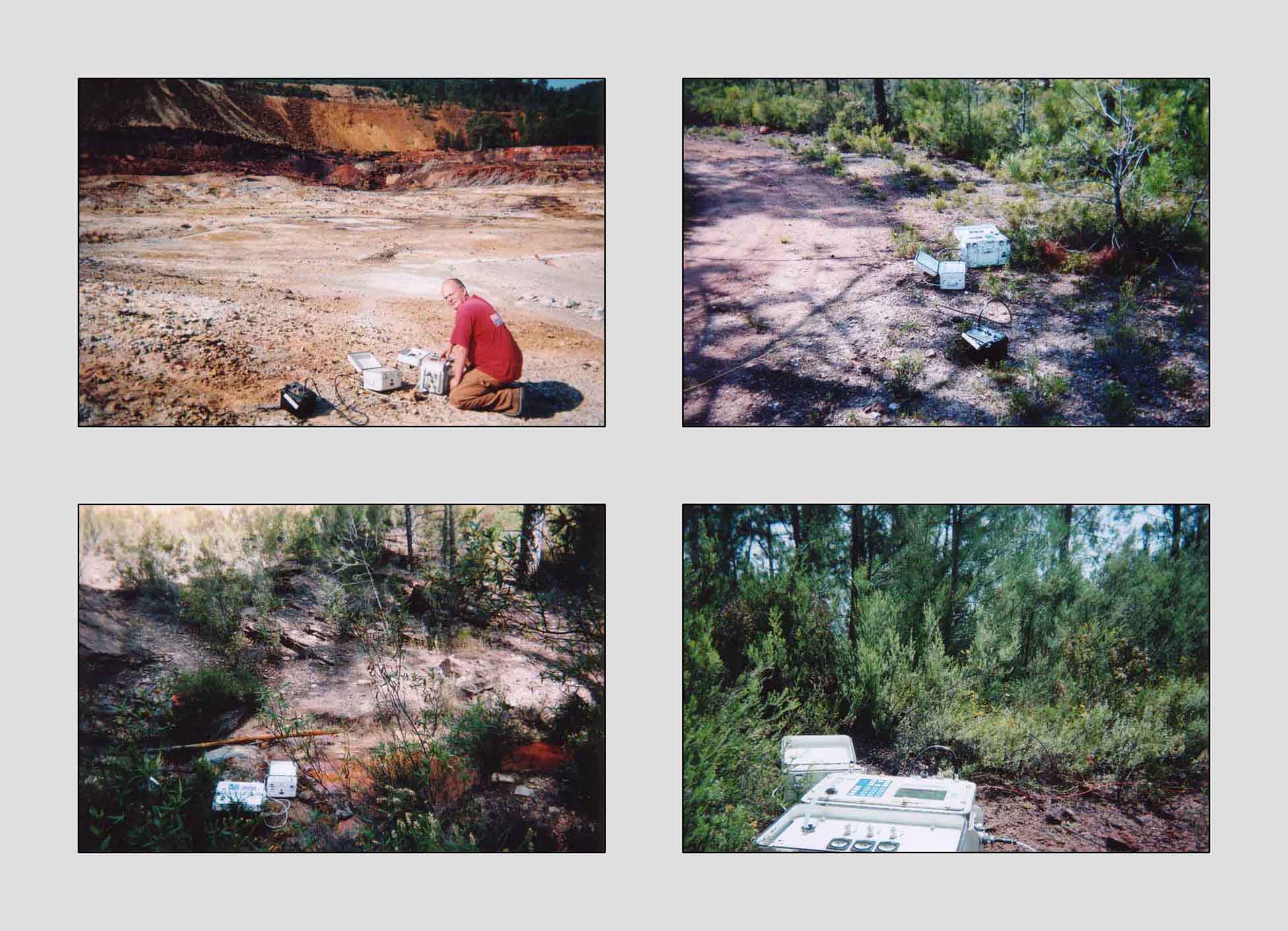
Stream adjacent to main
source area (L11S02)
75.5 KB
.small.jpg)
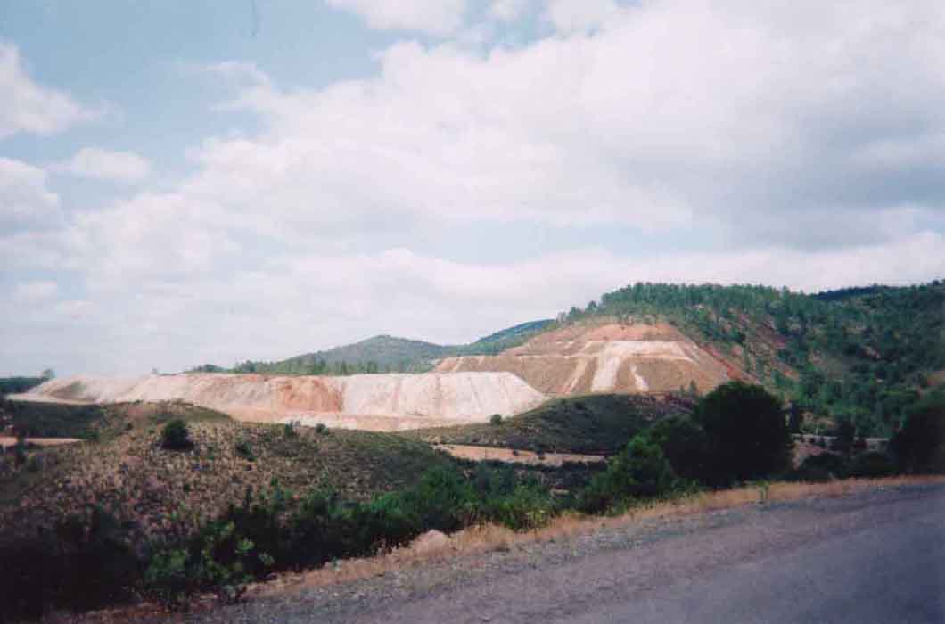
Mine tailings
bench #3 (L04S08)
82.4 KB
.small.jpg)
Gray shale below
Drill Site 3 (L05S04)
68.5 KB
.small.jpg)
House and road by
Drill Site 1 (L14S02)
54.8 KB
.small.jpg)
On the red shale East
of the pit lake (L04S04)
85.2 KB
Peńa de Hierro
field area
32.6 KB
Report & Summary
Figure 2
106.8 KB
Report & Summary
Figure 3
206.2 KB
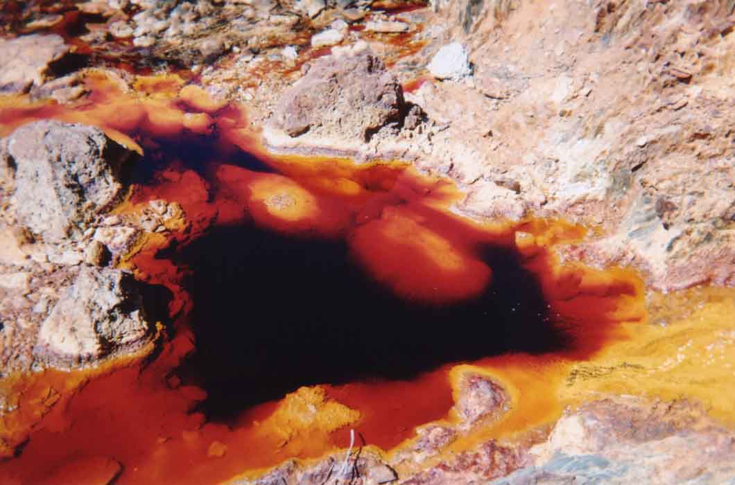
Main Source Area
image a
60.5 KB
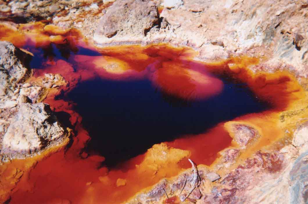
Main Source Area
image b
55.2 KB